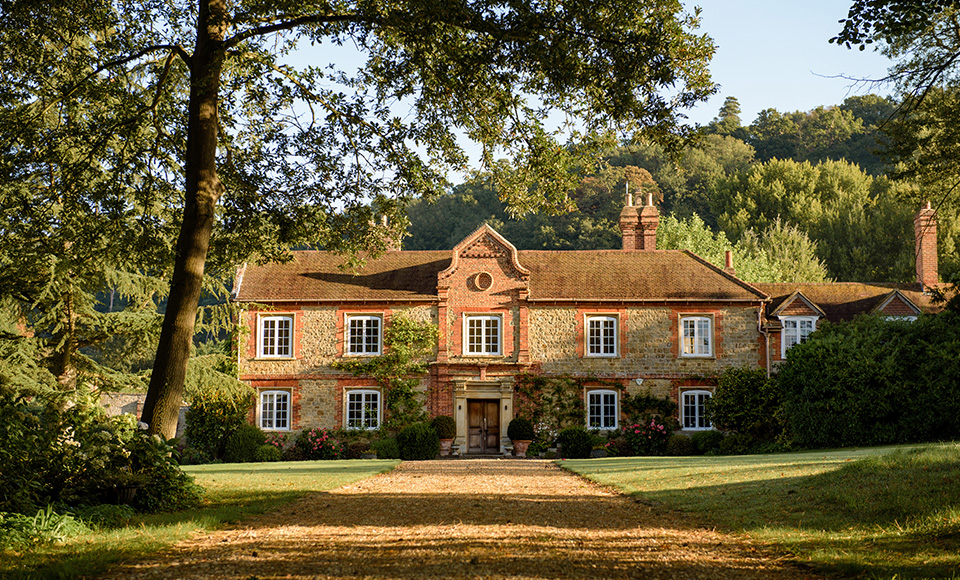
Rail to Ramble: Shalford to Chilworth
Scroll Down

5 miles
Station to station
Simply hop on the train to Shalford station and enjoy this 5 mile walk to Chilworth station.
You’ll be able to discover historic sites such as St Martha’s Church, a Grade II listed building and the Chilworth Gunpowder Mills, started in the first half of the 17th century. There are two rivers to see; the River Wey and the Tillingbourne River as well as walking part of the renowned North Downs Way.
Plan your route
Shalford station, GU4 8LE
What3Words ///just.backup.pint
Chilworth station, GU4 6TT
What3Words ///along.tonic.ground
Shalford station, GU4 8LE
Chilworth station, GU4 6TT
| Toilets | No | There are no toilets at Shalford or Chilworth station, however both towns have local hospitality venues which will have their own facilities. |
| Seating | Yes | Benches intermitted throughout the route |
| Gates | Yes | Kissing gates |
| Stiles | No | |
| Terrain | Pavement in town centres, but a lot of this route is sandy and there are steps. | |
| Incline | This route has some steady inclines, and a challenging uphill incline at St Martha’s Church. | |
| Waymarked | No |
1. From Shalford Station exit towards the A281. Cross at the traffic lights by the railway bridge. Turn right and then first left into the driveway towards the Cemetery Chapel. Follow the path outside the hedge around the left hand side of the chapel and graveyard.
2. At the next T-junction, with another brick bridge to your left, turn right on this wide path. After 150m, at a staggered junction, turn left through a metal kissing gate and take the steep slope down to the river flats below. (BEWARE: the slope may be slippery in wet weather and the route is prone to flooding after prolonged rain). Follow the boardwalk and then bear left with the river on your right.
3. At the weir, cross the metal bridge via the gate and continue on, with the River Wey now on your left. Go through a wooden gate by the Lock Keeper’s cottage and continue ahead.
4. At the next weir, go through the metal kissing gate, over the river and then over St Catherine’s Lock on the Wey Navigation. Turn right and follow the path with the Wey now on your right. After 650m you reach
some bright golden sand and a bridge over the river. Pass underneath and then take the steps up to the
wooden bridge. Cross the river again.
5. Keep following the path and after about 40m take the path away from the river. This path will quickly
lead you into Shalford Park. Cross straight over the sports field. (There are some public toilets here to
your left). At the A281, cross over, picking up the North Downs Way (NDW) signposts. Follow Pilgrims
Way (opposite) for 400m, and then cross the road, bearing right by NDW signpost at Chantry Woods.
6. Follow this wide track past the car park on your left. At the junction of tracks immediately after the car
park, continue straight ahead on the NDW. Stay on this wide track through woodland for 850m where it bends to the left. Continue straight ahead, on the narrower path, following the NDW signs. At a large crossroads of paths continue ahead still on the NDW. The path will start to narrow.
7. At the next T-junction with a road (Halfpenny Lane), turn left and then almost immediately right up a bridleway on the other side of the road, still signposted NDW. Continue straight ahead, crossing a tarmac drive, with a car park to your left, and continue through a metal barrier up the wide sandy path to the top of St Martha’s Hill and Church.
8. At the top, go into the churchyard to enjoy the views. Don’t miss the viewpoint plaque identifying local points of interest. Continue around the church and leave through another wooden gate staying at the top of the hill. Head gently downhill on a sandy slope, keeping to the right, until you come to a wide intersection of paths. Here, the NDW heads left, a WW2 pill box is straight ahead of you, and a nearby stone cairn marks the Downs Link path.
9. Turn sharp right by the cairn and follow the Downs Link down the hillside following the edge of
fields as you go. When you reach a junction at the bottom of the hill turn left. (Note, if you turn to the
right and follow a permissive path you can explore lovely views over Chilworth Vineyard, then return to
the junction). Continue heading down hill. Cross the stream at the bottom (Tillingbourne River). Ignore any turnings until you reach a path with wooden barriers on your right about 90m after the bridge and with a Chilworth Gunpowder Mills sign board.
10. Turn right into the Gunpowder Mills site, with a small stream running on your left and ruined buildings on your right. Continue on this path for about 400m until you come to a wide open picnic area. Take the path to your left over the small stream, called “Vera’s Path”, and continue up this path passing Chilworth Infants School on your left. At the road, turn left and follow the pavement past the school towards the Percy Arm Pub. Chilworth Railway Station is opposite the pub.
Downloadable maps
Interactive StoryMap

Discover local businesses